


Topographic Survey
Fieldwork
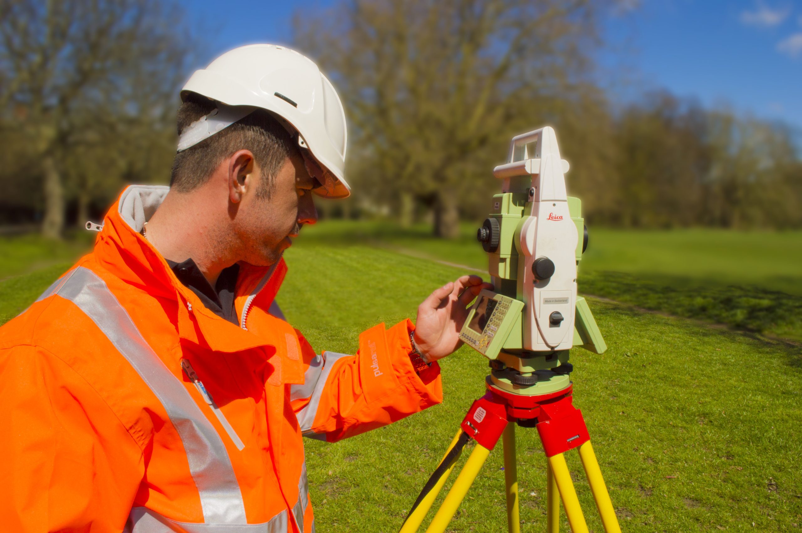
A service called upon by Architects, Builders, Highway Engineers, Rail contractors and Utility companies. Using state of art Total Station, GPS and Drone technology. PLS delivers high spec topographic surveys to help clients at the design stage of development.
Data is captured using a variety of methods and technology, dependant on the environment and accuracy level required. High accuracy Survey Control Networks are installed and measured using 0.5” Total Stations, observing multiple rounds of angles and distances. The data is uploaded into market leading traverse computation software and a Least Squares calculated control network is produced. Our Rail and Highway clients demand survey control network accuracy between 1:50,000 and 1:100,000 to allow the most accurate topographic plan to be produced, giving designers the most accurate data set possible.
The topographic data is captured using one or more of the following methods:
- Total Station – the most accurate method of data capture and the preferred method for capturing high accuracy data for Rail Track and Highway surveys
- 3D laser Scanning technology – the use of this technology provides the most comprehensive data set (Point Cloud) captured by an ever-evolving technology set.
- Drone Surveys – using cutting edge LIDDAR and/or Photogrammetry Technology, a Drone is capable of mapping a large area in a short space of time. A preferred method if access is problematic and accuracy band is at the low end.
Data Processing and Delivery
With field checks completed, all data is transmitted to our office where our highly experienced processing teams begin turning it into a survey model. Deliverable formats include DWG, PDF, MOSS, Genio and three-dimensional BIM models.